
Exploring further through the DataARC API and Storymaps
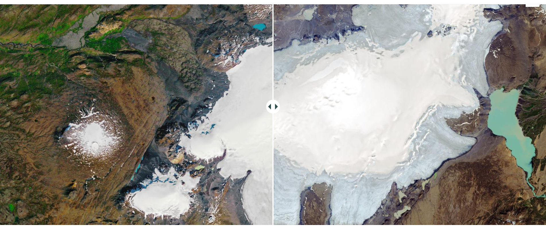
Richard J. Bankoff & Andrés G. Mejía Ramón used the dataARC API to leverage the project's data, concepts, and combinators, exploring two research areas: climate impacts on the preservation of the archaeological landscape and the integration of information from historical sources and the icelandic Sagas. Their work illustrates how the dataARC infrastructure can be used to integrate the project's data with external datasets, power maps and visualisations, and investigate potential patterns and trends across multiple datasets.
You can access their examples here:
Example 1 (ESRI Storymap format) : Quantifying an ever-changing landscape
Example 1 (HTML + Binder/Jupyter format) : Quantifying an ever-changing landscape
Example 2 (ESRI Storymap format) : Data mining the past
Example 2 (HTML + Binder/Jupyter format) : Data mining the past
